Im all ready for this to be the day we get something....
SPC mention chance for super cells and large hail with a tornado or 2 not out of the question...
Time to sit and wait... Will update as soon as anything happens.

12:10pm Update...
A SEVERE THUNDERSTORM WATCH IS IN EFFECT FOR PORTIONS OF CENTRAL
KENTUCKY...THE BLUEGRASS REGION OF KENTUCKY...AND SOUTHEAST INDIANA
UNTIL 7PM EST...6PM CST.
SHOWERS AND THUNDERSTORMS ARE FORECAST TODAY. THE HEAVIEST STORMS
ARE EXPECTED ACROSS THE EASTERN PORTION OF SOUTH CENTRAL INDIANA AS
WELL AS NORTH CENTRAL AND EAST CENTRAL KENTUCKY THIS AFTERNOON AND
EVENING. THE MAIN THREATS ACCOMPANYING THE STORMS WILL BE
HAIL...GUSTY WINDS...AND LIGHTNING.

Update....
No Severe Weather in area.... Did get 2 severe storms that passed within 30 miles of location. Lots of rain here with some thunder but nothing to write home about this time...
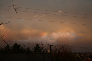
The sunset was awesome.


